Property Record
628 Se Ee Butler Pkwy, Gainesville, GA 30501
NEARBY LISTINGS FOR SALE OR LEASE
Property Detail
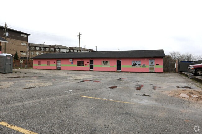
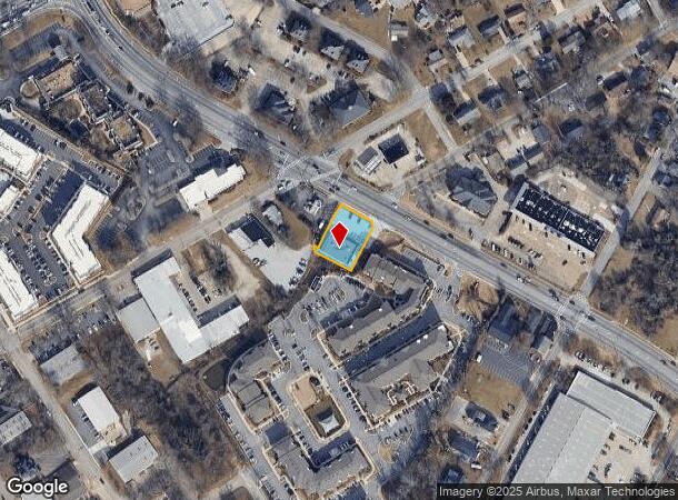
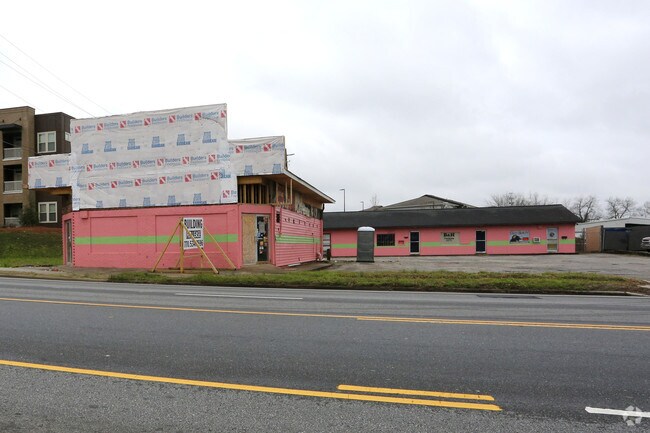
628 Se Ee Butler Pkwy
Gainesville, GA
Oak Grove Heights
01-00020-05-029
628 E E BUTLER PARKWAY
Restaurantbuilding
Hall
X
Georgia
13139C0187G
0
2025
0.41 AC
2025
Gainesville/Hall Cnty
001203
Atlanta
5,400 SF
DEMOGRAPHICS near 628 Se Ee Butler Pkwy
1 Mile
3 Mile
5 Mile
2024 Total Population
8,561
41,708
72,845
2029 Population
9,501
45,965
80,513
Pop Growth 2024-2029
+ 10.98%
+ 10.21%
+ 10.53%
Average Age
34
35
37
2024 Total Households
2,819
14,037
24,783
HH Growth 2024-2029
+ 11.03%
+ 10.19%
+ 10.49%
Median Household Inc
$32,566
$50,153
$56,096
Avg Household Size
2.70
2.80
2.80
2024 Avg HH Vehicles
1.00
2.00
2.00
Median Home Value
$185,781
$217,931
$254,431
Median Year Built
1980
1985
1989
Nearby Places
Map Layers
Map Styles
 Street
 Aerial
- Restaurants
- Banks
- Shops
- Fitness
- Groceries
PUBLIC TRANSPORTATION
COMMUTER RAIL
Gainesville Amtrak Station (Crescent - Amtrak)
DRIVE
WALK
Distance
Gainesville Amtrak Station (Crescent - Amtrak)
2 min
14 min
0.6 mi
Freight Ports
Georgia Ports - Savannah
DRIVE
WALK
Distance
Georgia Ports - Savannah
318 min
251.1 mi
Nearby Properties
Address
Land Use
TOTAL SIZE
Lot Size
Zoning
Address
Land Use
TOTAL SIZE
Lot Size
Zoning
564,132 SF
48.45 AC
PUD
Address
Land Use
TOTAL SIZE
Lot Size
Zoning
66,720 SF
27.49 AC
PUD
Address
Land Use
TOTAL SIZE
Lot Size
Zoning
39,637 SF
31.55 AC
R-II
Address
Land Use
TOTAL SIZE
Lot Size
Zoning
27,221 SF
2.23 AC
G-B
Address
Land Use
TOTAL SIZE
Lot Size
Zoning
2,160 SF
5.60 AC
PUD
Address
Land Use
TOTAL SIZE
Lot Size
Zoning
44,052 SF
19.19 AC
PUD
Address
Land Use
TOTAL SIZE
Lot Size
Zoning
58,020 SF
3.15 AC
PUD
Address
Land Use
TOTAL SIZE
Lot Size
Zoning
3,620 SF
20.20 AC
PUD
Address
Land Use
TOTAL SIZE
Lot Size
Zoning
3,284 SF
28.53 AC
PUD
Address
Land Use
TOTAL SIZE
Lot Size
Zoning
100,864 SF
4.10 AC
PUD
Address
Land Use
TOTAL SIZE
Lot Size
Zoning
41,471 SF
27.60 AC
G-B/R-1
Address
Land Use
TOTAL SIZE
Lot Size
Zoning
2,038 SF
20.92 AC
R-II
Address
Land Use
TOTAL SIZE
Lot Size
Zoning
77,333 SF
11.74 AC
PUD
Address
Land Use
TOTAL SIZE
Lot Size
Zoning
19,875 SF
19.76 AC
R-B
Address
Land Use
TOTAL SIZE
Lot Size
Zoning
56,780 SF
16.78 AC
PUD
Address
Land Use
TOTAL SIZE
Lot Size
Zoning
76,726 SF
0.42 AC
C-B
Address
Land Use
TOTAL SIZE
Lot Size
Zoning
469,180 SF
25.56 AC
H-I
Address
Land Use
TOTAL SIZE
Lot Size
Zoning
46,795 SF
17.38 AC
PUD
Address
Land Use
TOTAL SIZE
Lot Size
Zoning
102,317 SF
6.90 AC
PUD
Address
Land Use
TOTAL SIZE
Lot Size
Zoning
11,430 SF
38 AC
R-I
Address
Land Use
TOTAL SIZE
Lot Size
Zoning
128,531 SF
13.32 AC
R-I
Address
Land Use
TOTAL SIZE
Lot Size
Zoning
258,372 SF
24.38 AC
L-I
Address
Land Use
TOTAL SIZE
Lot Size
Zoning
148,619 SF
30.75 AC
O-I
Address
Land Use
TOTAL SIZE
Lot Size
Zoning
1,191 SF
262.63 AC
H-I
Address
Land Use
TOTAL SIZE
Lot Size
Zoning
1,441 SF
10.46 AC
PUD
Address
Land Use
TOTAL SIZE
Lot Size
Zoning
304,088 SF
17.45 AC
H-I
Address
Land Use
TOTAL SIZE
Lot Size
Zoning
140,805 SF
3.74 AC
PUD
Address
Land Use
TOTAL SIZE
Lot Size
Zoning
4,032 SF
89.43 AC
R-I
Address
Land Use
TOTAL SIZE
Lot Size
Zoning
63,571 SF
31.97 AC
PUD
Address
Land Use
TOTAL SIZE
Lot Size
Zoning
82,610 SF
13.68 AC
G-B
The World's #1 Commercial Real Estate Marketplace
Connect with us
© 2025 CoStar Group
The information above has been obtained from sources believed reliable. While we do not doubt its accuracy we have not verified it and make no guarantee, warranty or representation about it. It is your responsibility to independently confirm its accuracy and completeness. Any projections, opinions, assumptions, or estimates used are for example only and do not represent the current or future performance of the property. The value of this transaction to you depends on tax and other factors which should be evaluated by your tax, financial, and legal advisors. You and your advisors should conduct a careful, independent investigation of the property to determine to your satisfaction the suitability of the property for your needs.